|
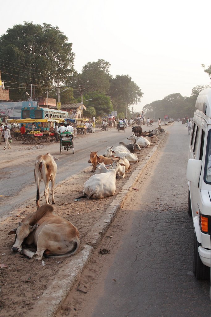 |
| Holy cows | |
| Latitude: N 26°42'1,71" | Longitude: E 77°53'27,92" | Altitude: 168 metres | Location: Mania | City: Kagarol | State/Province: Uttar Pradesh | Country: India | Copyright: Ron Harkink | See map | |
| Total images: 32 | Help | |
|
|
|
| Holy cows | |
| Latitude: N 26°42'1,71" | Longitude: E 77°53'27,92" | Altitude: 168 metres | Location: Mania | City: Kagarol | State/Province: Uttar Pradesh | Country: India | Copyright: Ron Harkink | See map | |
| Total images: 32 | Help | |